The maps below demonstrate the effects of various configuration options in the Precision Mapping 9.0 "File, Map Settings..." dialogs. These were exported from a Precision Mapping system running on a 1024x768 pixel XGA display.
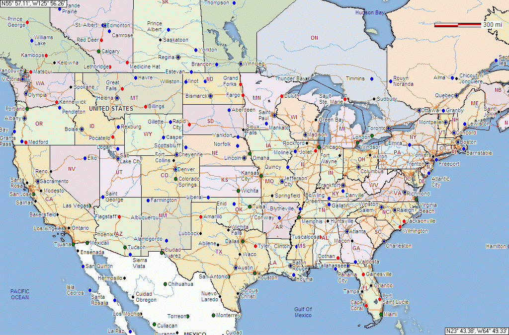
This map of the entire US used the options for coordinates in DD MM.mm format
(as used by UIview), "Normal" contrast roads", borders set to solid line with no
highlights, and no relief layer showing:
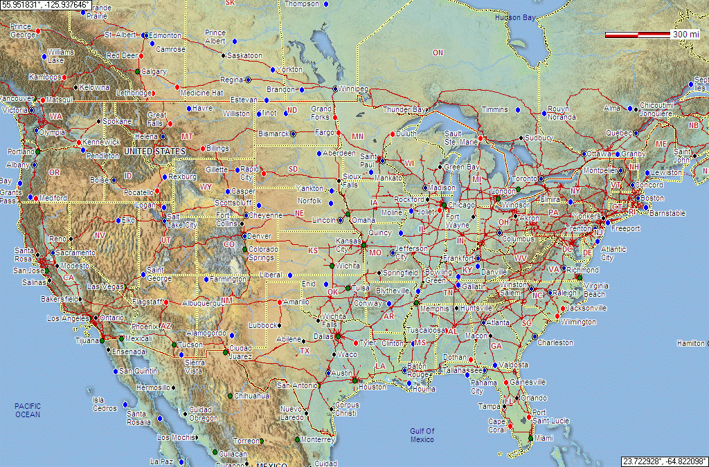
The same area exactly, but coordinates in decimal degrees, "High Contrast"
roads enabled, the default border display settings (dotted line and highliter),
and Relief enabled and pumped up with the 90% Opacity setting instead of the
normal 50%,
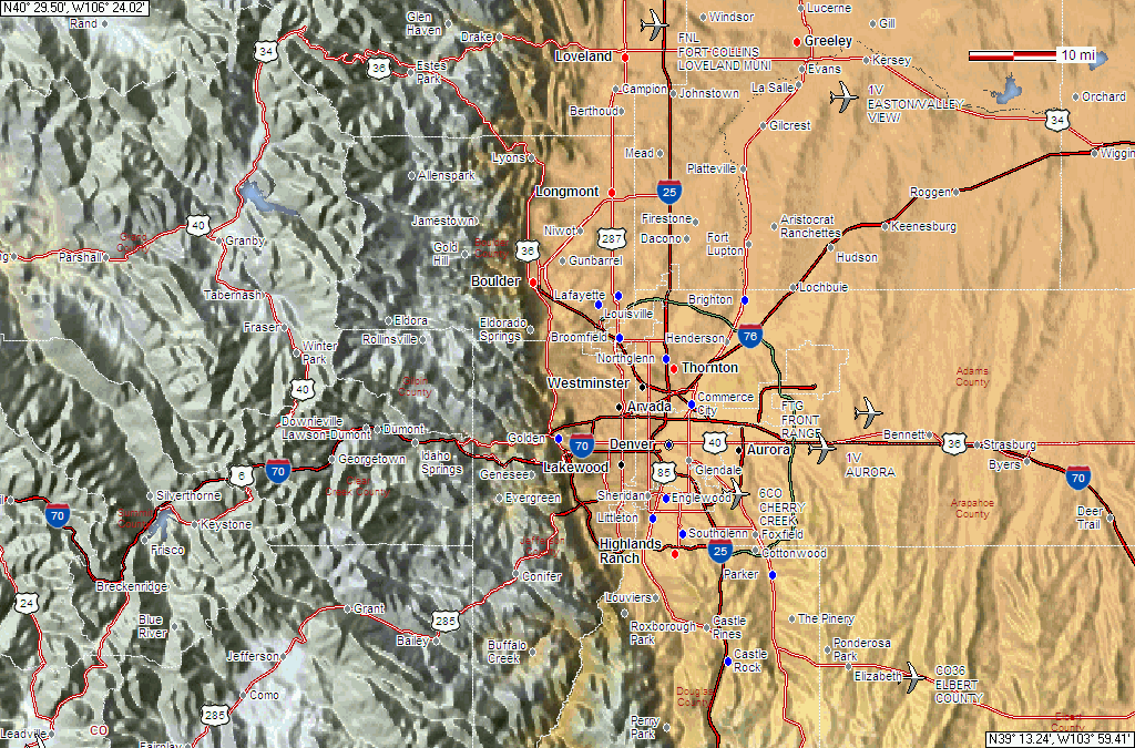
A closer-in view of the Denver, Colorado area showing the relief
effect at the 10-mile/inch range. This shows "High Contrast" roads and
de-emphasized borders (note the thin while county lines).