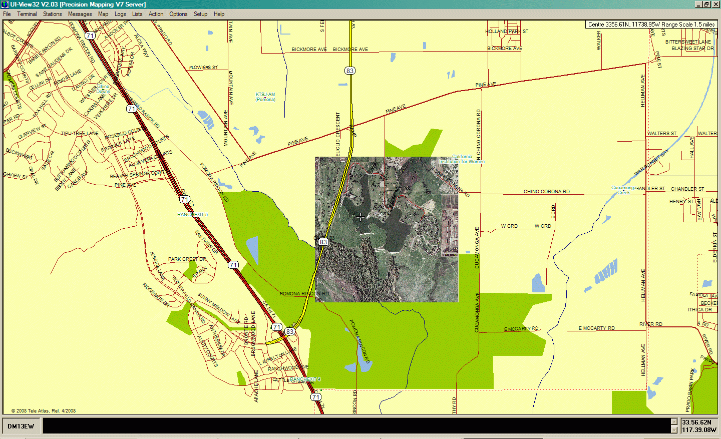
Uiview 2.03 with Precision Mapping Server V7.07 and Satellite Image Underlay
The satellite image is a capture from Yahoo Maps placed underneath the Precision
Mapping vector draw layer. The overall screen represents an area about 4.5
miles (7.2 kM) across. The satellite image is about a mile (1.6 kM) across.