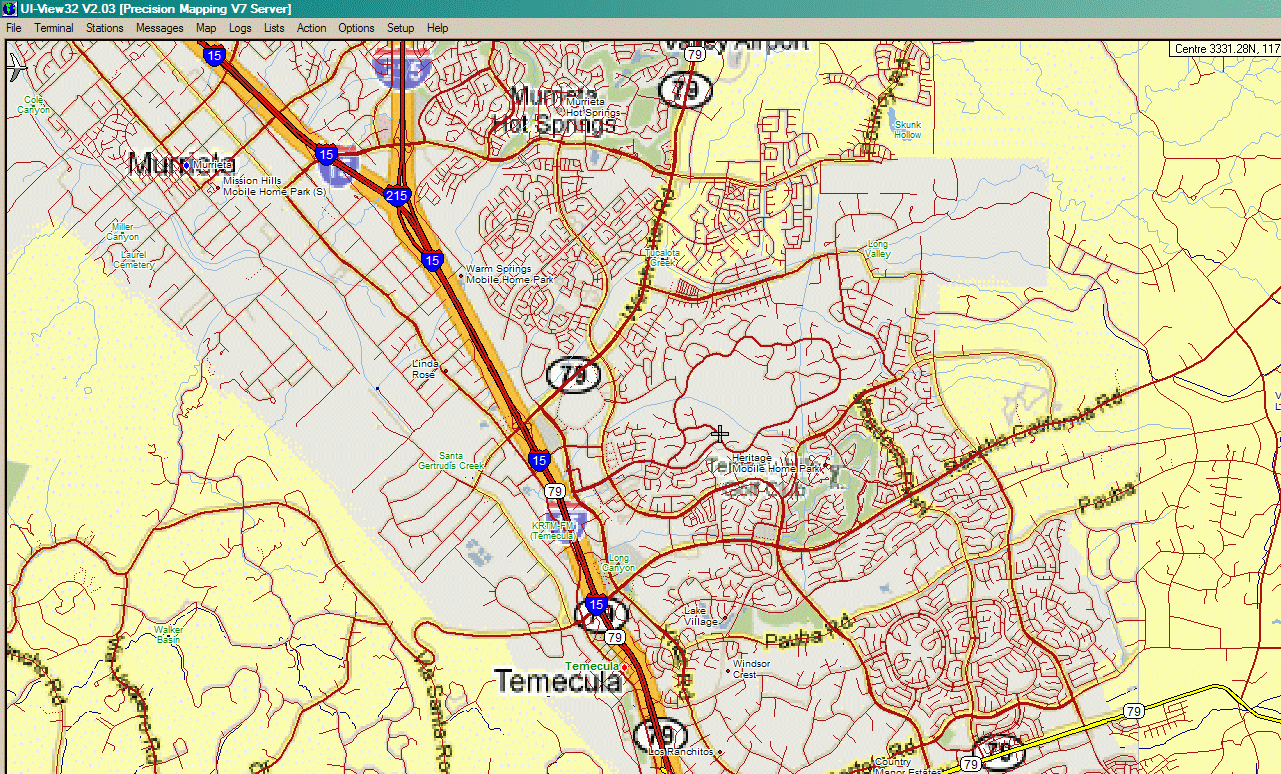
The red freeway lines are vector data from Precision Mapping 8.1. The orange "halo" is the same data from a Google Maps street map image placed below the vector layer. Nearly every thin red local street line from Precision Mapping has a corresponding grey line from the Google Maps image underneath. (This is a highly-enlarged tiny portion of a capture of Google Maps covering an area about 85 miles across.)