Download High-Res PhotoMap of Dayton
Hamvention Area
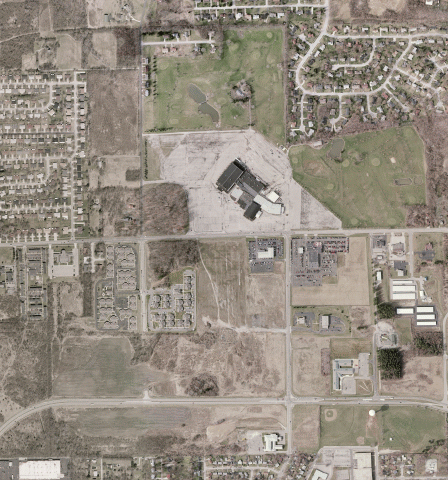
(Hara Arena Area)
The map in the linked zip file below is a
very-high-resolution aerial photo of an approximately 1-mile-square area
surrounding the Hara Arena, venue of the Dayton Hamvention. This image is
about 3600 x 3800 pixels in 256-color BMP format.
Two calibration files are included in the file.
- Use Dayton-Hara.inf
and Dayton-Hara.BMP
file directly as a static map in UIview and other programs that can use UIview-style
maps and calibration. The image will be far larger than the window in
UIview. This will yield approximately twice as large a scale image as
the second choice below, but can not be zoomed. However, it can be scrolled to view
various parts of the image.
Place the two files in the main
UIview/Maps
folder. In UIview, choose "Map, Load A Map" and choose " Dayton Hara Area "
from the list. This will yield approximately twice as large a scale
image as the choice below, but can not be zoomed.
- Use Dayton-Hara.sat
and Dayton-Hara.BMP
as an underlay file for Precision Mapping 7 or
8. The image will appear underneath the normal vector road data of
Precision Mapping and will automatically re-size as Precision Mapping is
zoomed in or out. Place the two files in the
/Underlays
folder underneath the main PMapServer7 folder. In UIview with the Precision
Mapping Server 7 running, pulldown "Map, Control Panel". In the
resulting "PMapServer7 Control Panel", pull down "Underlay, Load Underlay",
and check the box for "Dayton-Hara.bmp". The image will not appear
until you close the PMap7 Server Control Panel.
The picture below is a GIF representation of the image
at 1/8th the linear dimensions; i.e. 1/64th the area and pixels of the actual
BMP image.